Main features
Two visualisation modes are available:
Instant risk overview
This feature shows risk rates of failing objectives in the future considering the current storage state of the reservoir, the policy constraints and the date. The bar plot show the first ten objectives sorted by decreasing order of failure risk rate.
The storage state of the reservoir can be filled in 3 ways:
- “manual”: the user freely adjust the storage of each reservoir
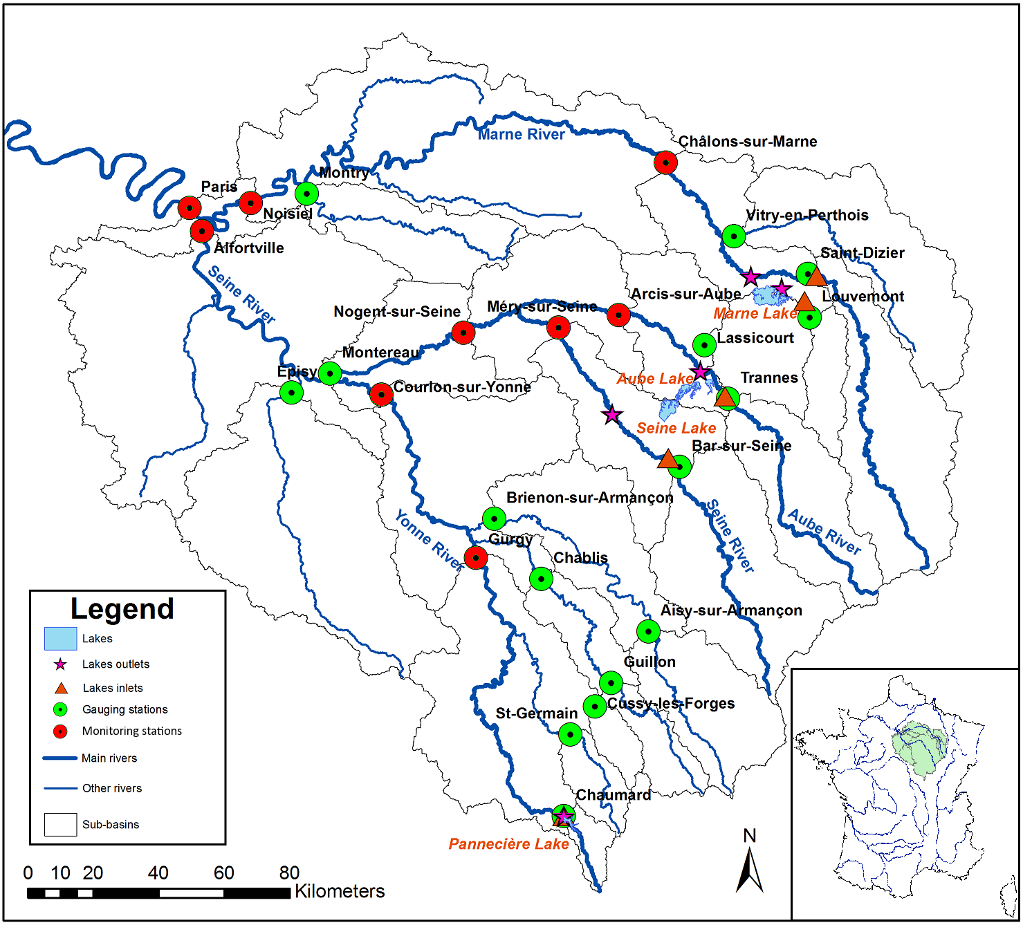
- “objective curve”: reservoir storages are filled in respect with the value of the theoretical objective curves followed by the EPTB Seine Grands Lacs (See e.g. https://www.seinegrandslacs.fr/quatre-lacs-reservoirs/lac-reservoir-seine for the lake Seine)
- “real time value”: reservoir storages are filled with real time state of the reservoir available at this URL: https://www.seinegrandslacs.fr/quatre-lacs-reservoirs-au-coeur-dun-bassin
One objective focus
This feature shows a heat map of the failure risk rates for each possible storage state in function of the day of the year for one particular objective and a chosen policy constraints.
The chart also displays the theoretical filling curve.